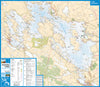
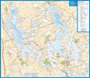


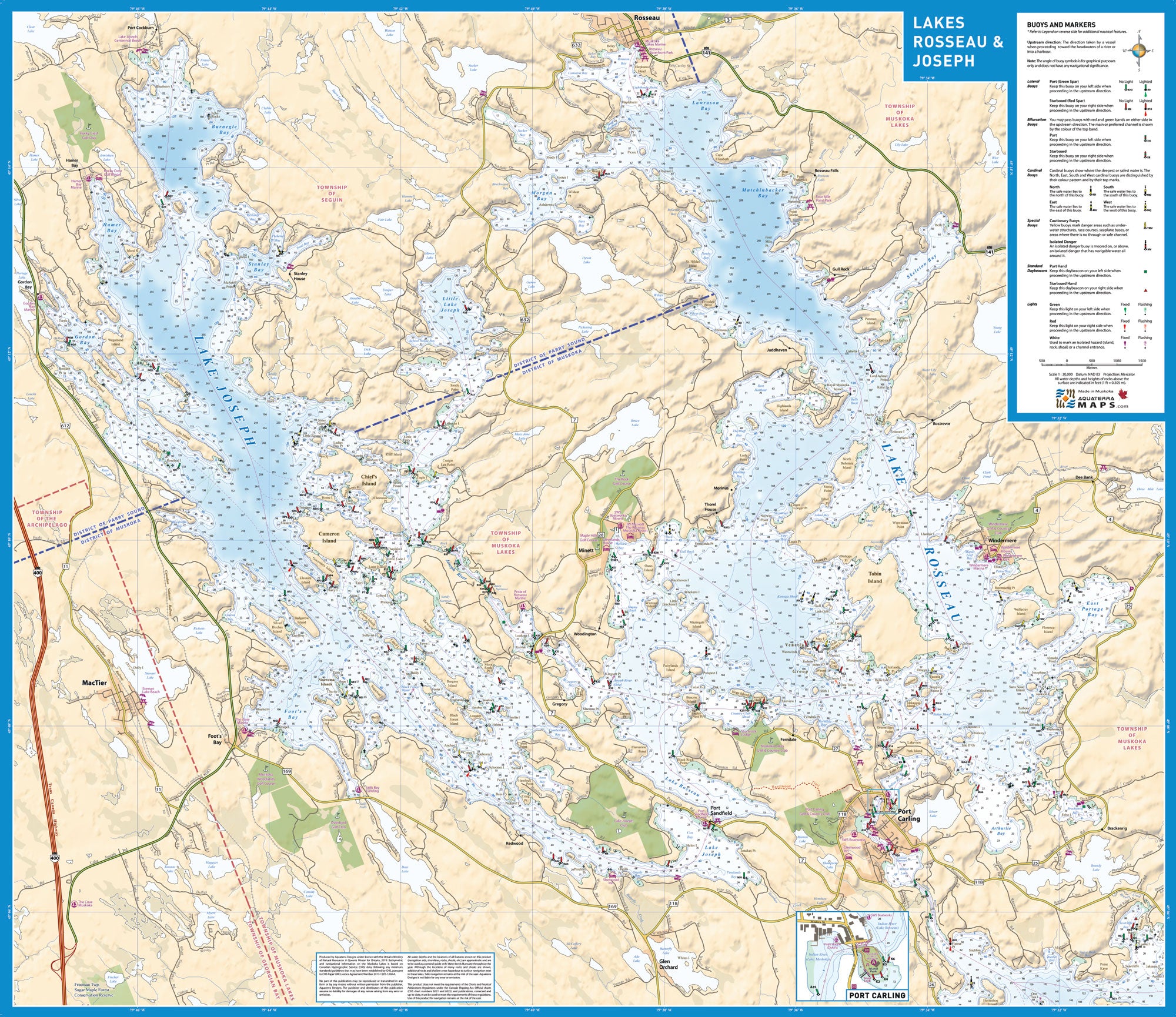
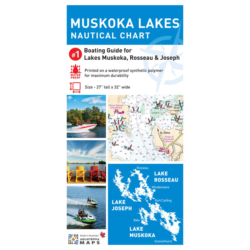
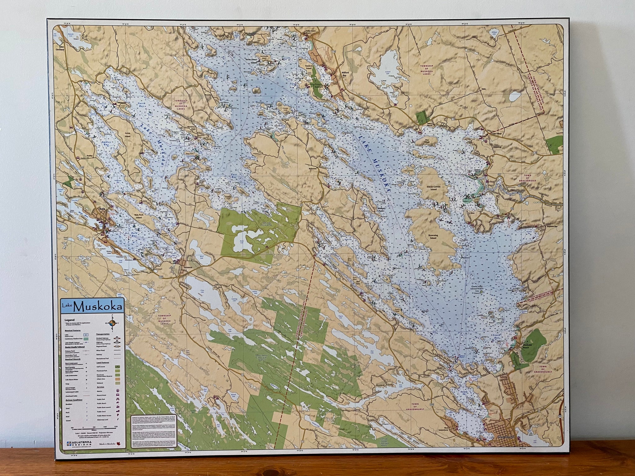
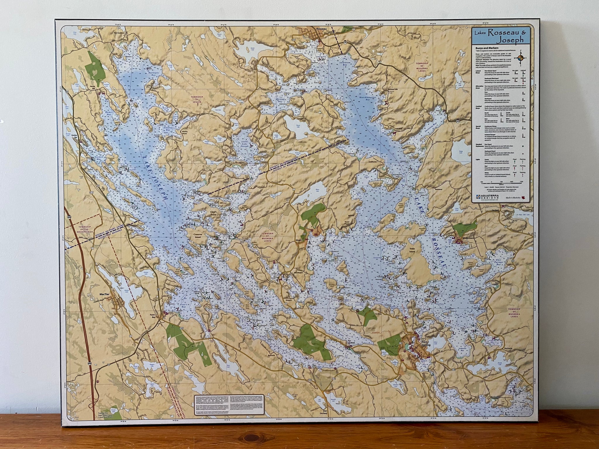
Muskoka Lakes Boating Chart
The Ultimate Guide to the Muskoka Lakes
The Muskoka Lakes Boating Chart is the most detailed and up-to-date guide to Lake Muskoka, Lake Rosseau and Lake Joseph. The chart is double sided with Lake Muskoka on one side and Lakes Rosseau and Joseph on the other.
Accurate and Up-To-Date
This chart combines licensed navigational and lake depth data from the Canadian Hydrographic Service with extensive local knowledge provided by local boaters and marina operators. In addition, a complete aerial photography review of all three lakes was completed to maximize accuracy of features and to mark shoals and navigation hazards that were previously uncharted. To accurately represent land based features the chart uses up-to-date shoreline, wetland, road, and land-based elevation data from the Ministry of Natural Resources.
Designed Specifically for the Muskoka Lakes Boater
The chart includes easy to understand legends describing the nautical navigation aids. In addition, many route and direction of waterflow lines have been added to aid with safe navigation.
Size: 32″ wide x 27″ tall
Coverage Area: Lake Muskoka, Lake Rosseau and Lake Joseph
Features: Water Depths, Buoys and Markers, Preferred Routes, Marinas, Public Facilities (docks, beaches, boat ramps), Highways, Major Roads, Cottage Roads, Provincial Parks, Conservation Areas, Golf Courses, Airports, Trails, Detailed Relief Shading
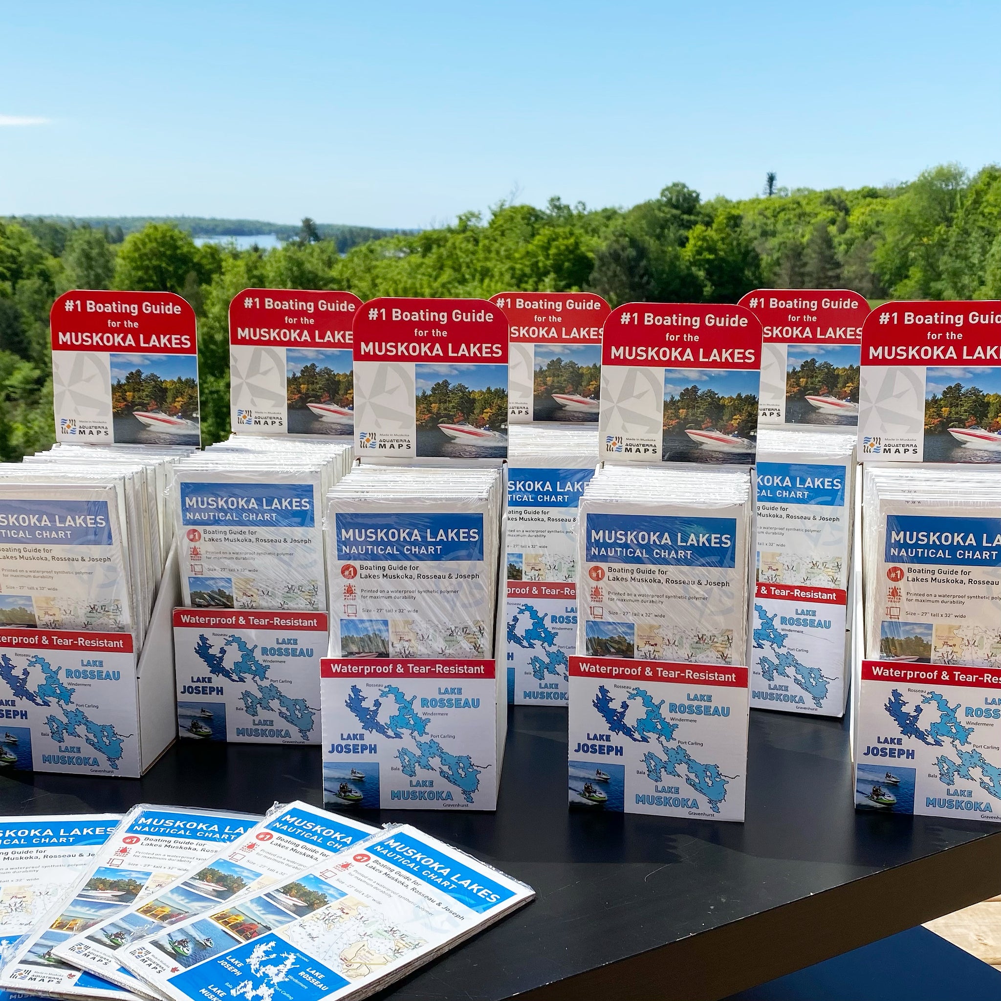
Printing Options:
Paper - Double sided print.
Laminated - Double sided, waterproof and rolled for quick reference or to hang up in your boat house or cottage.
Folded - Printed on waterproof tear-resistant material, great for a PWC or for keeping in your boat's glove box.