WALL MAPS
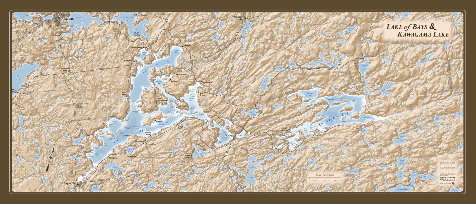
Lake of Bays Kawagama Lake Antique Style Map
With the village of Dorset located at the middle of this elegant map, the rugged beauty of Muskoka’s Lake of Bays and Haliburton’s Kawagama Lake area are displayed in exquisite detail. A colour palette of earth-tones and blues allows the map to complement almost any decor while providing an interesting and unique wall hanging.
The Lake of Bays Kawagama Lake Map stretches from Fairy Lake in the West to the border of Algonquin Park in the East and from Huntsville and Hwy 60 in the north down to the northern tip of Kennissis Lake. The locations of all cottage roads, all towns and villages, and every little lake, river, creek or marshland are displayed with exact geographic accuracy. An attention-grabbing hillshade affect makes the rocky glacier scoured landscape of the Canadian Shield come alive with topographic detail.
The map measures 13″ tall by 30″ wide and is sold plak-mounted on a lightweight wood composite backing with black beveled edges.
Size: 30" wide x 13" tall
Coverage Area: Lake of Bays, Kawagama Lake and Surrounding Area
Features: Major Roads, Cottage Roads, Provincial Parks, Towns, Hamlets, Detailed Relief Shading