WALL MAPS
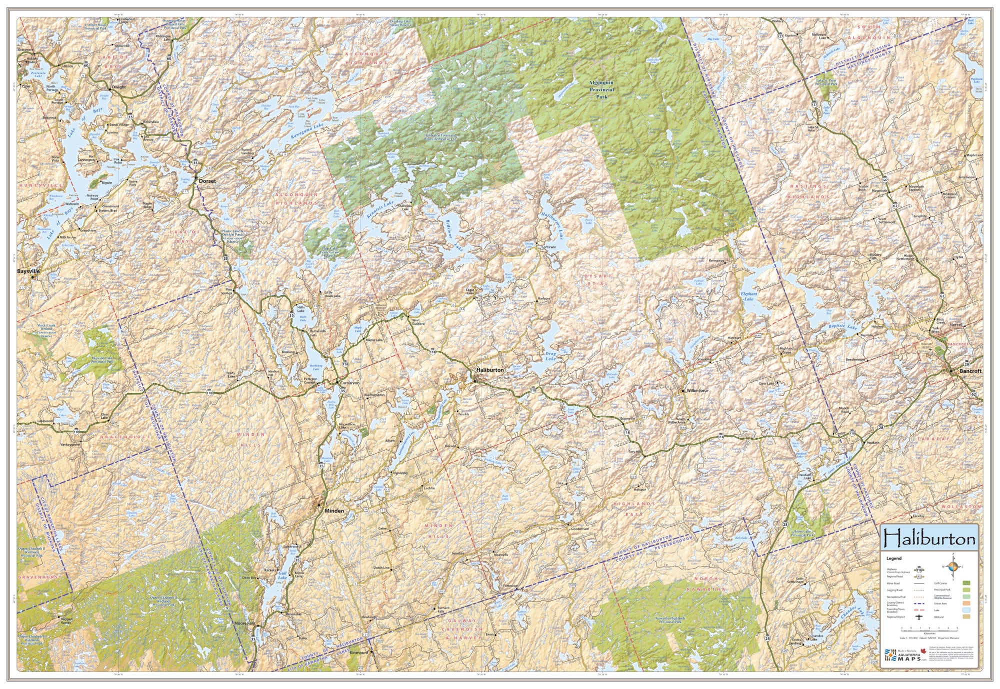
Haliburton Map
$25.95
The Haliburton Map is a large poster sized printed map providing a highly detailed overview of this unique lake dotted and rugged landscape. The Haliburton map was developed by meshing traditional cartographic principles with historic graphic style to design a map that functions as a stunning decorative wall map, while at the same time guaranteeing spatial accuracy.
Size: 39" wide x 27" tall
Coverage Area: From Lake of Bays in the west to Bancroft in the east, Algonguin Park in the north and the edge of Kawartha Lakes in the south. The town of Haliburton lies in the center of the map.
Features: Highways, Major Roads, Cottage Roads, Provincial Parks, Conservation Areas, Golf Courses, Airports, Trails, Detailed Relief Shading.