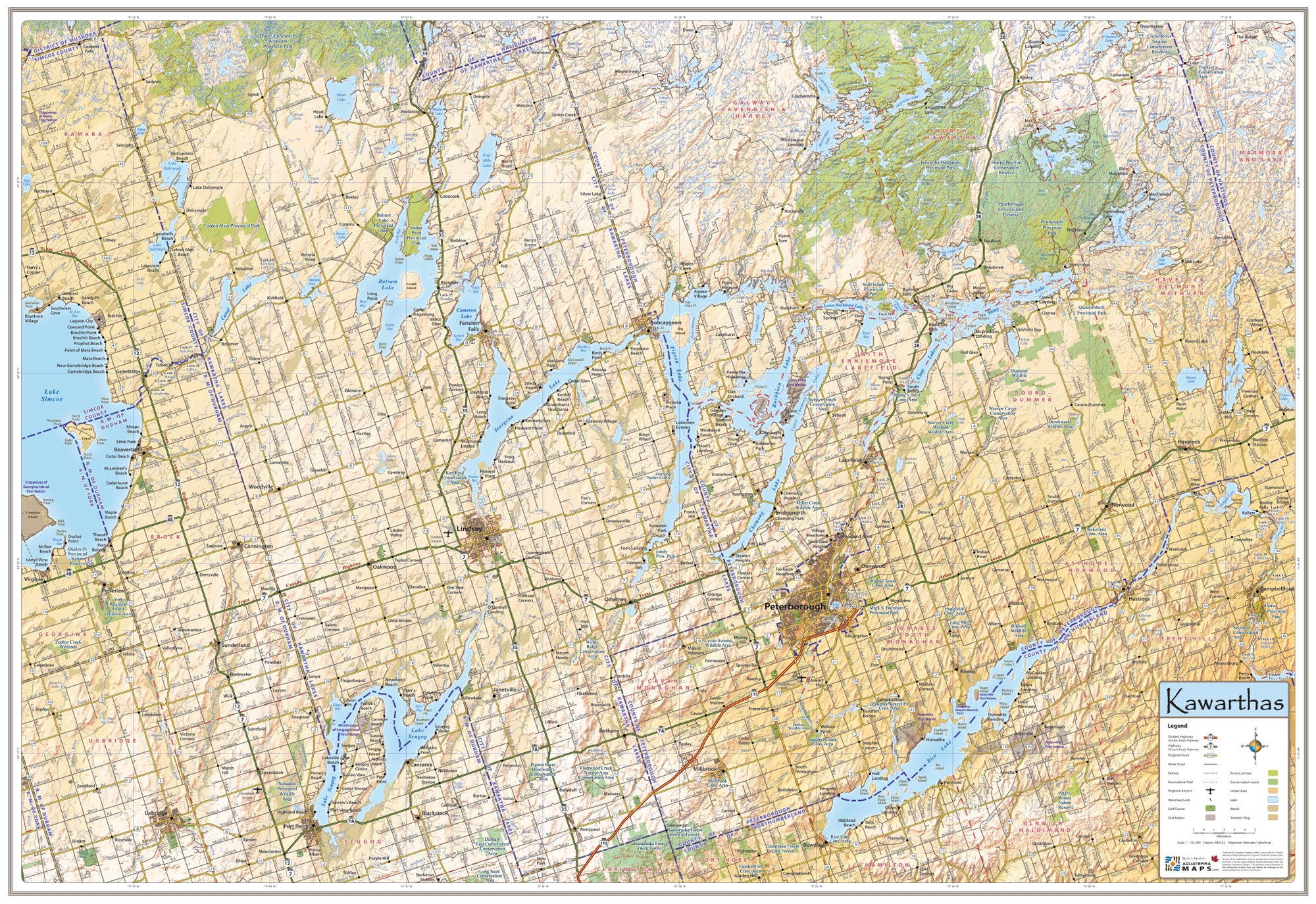
Kawartha Map
The Kawartha Map displays the meandering waterways of the Kawartha Lakes and the varied terrain of the Kawarthas in vivid detail.
The map combines the intricate detail usually only available on a topographic map with up-to-date roads, political boundaries, and places of interest to provide a mesmerizing overview of this remarkable geographic area.
The map includes the City of Kawartha Lakes, the County of Peterborough and the surrounding municipalities, towns, villages and hamlets. All lakes and rivers are included as well as many destinations and points of interest. The Kawartha Map is the only map available that captures this entire area on a single, beautiful and up-to-date map.
Size: 39" wide x 27" tall
Coverage Area: The Kawartha Lakes and the surrounding area
Features: Highways, Major Roads, Cottage Roads, Provincial Parks, Conservation Areas, Golf Courses, Waterway Locks, Municipal Boundaries, Detailed Relief Shading.